Read the alert for your exact location
The National Center for Meteorology publishes live warnings by region and governorate with a start time, end time, phenomenon and color level. The map is more useful than a national weather headline because conditions can differ between nearby areas and can be updated during the day.
NCM describes yellow as the possibility of an area being affected, orange as an affected area where caution is required, and red as severe weather or flood danger requiring full caution and compliance with Civil Defense instructions. A color is not a prediction of identical conditions on every street, so observe the actual road and local authority messages as well.
Decide whether a journey can wait
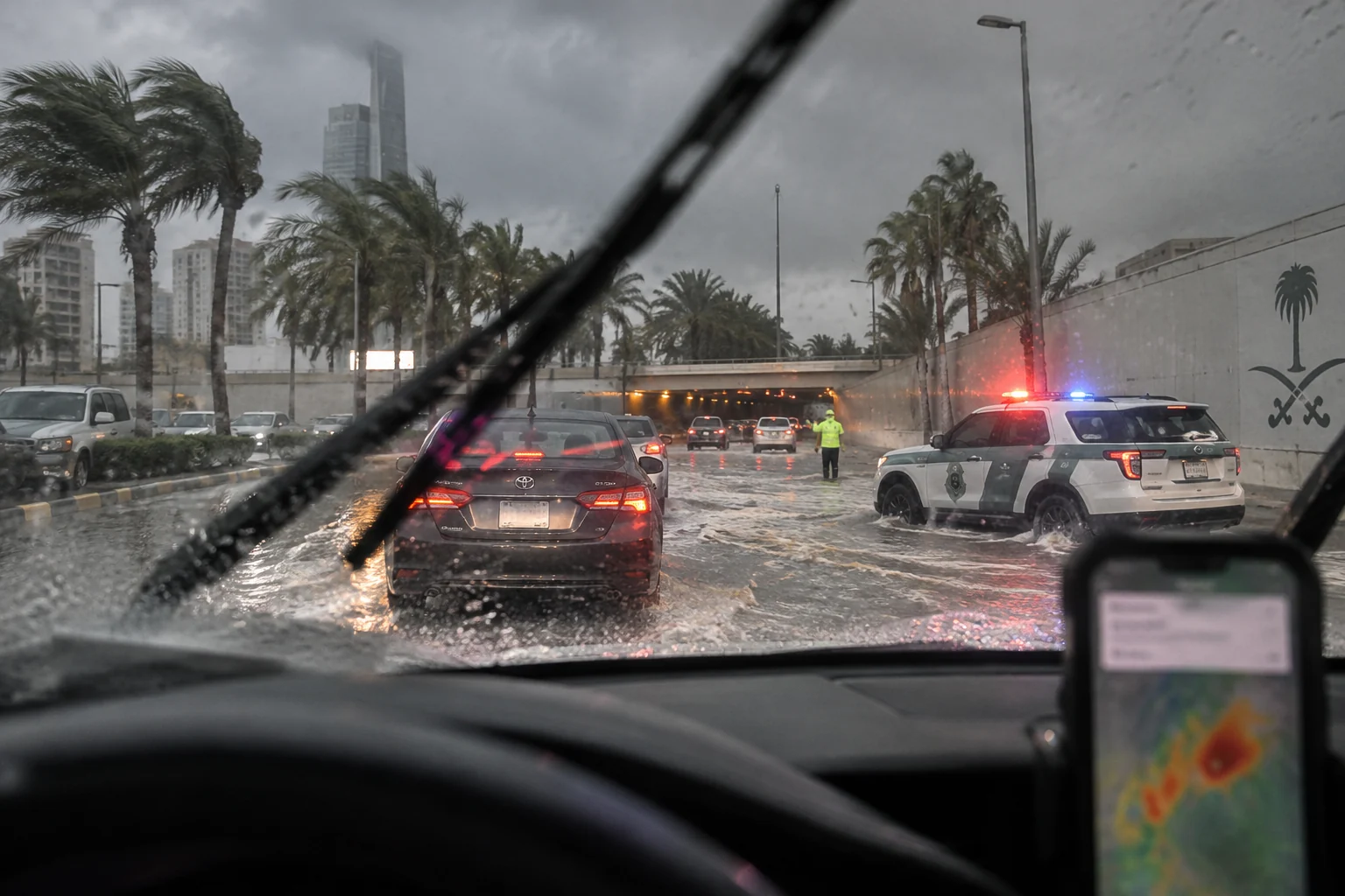
Before leaving, check the route, not only the destination. Valleys, low crossings, tunnels and underpasses can become dangerous even when rain at the starting point looks light. Charge the phone, tell someone the route, keep fuel adequate and allow an alternative that avoids flood-prone areas.
Do not attempt to cross water because another vehicle did so. Water depth, current and road damage are difficult to judge. If the route is blocked, turn back safely and use official traffic or emergency directions. Stopping on a bridge, in a drainage channel or beside a fast-moving stream can create an additional hazard.
Prepare the household without spreading rumors
Secure loose outdoor items, keep drains clear where it is safe to do so, protect essential medicines and documents, and identify a higher, safer place if the property is exposed to runoff. Parents should prevent children from approaching pools, culverts or floodwater. Livestock and equipment should be moved early rather than during a torrent.
Share the official alert link instead of a cropped map or voice note with no timestamp. Confirm the governorate and validity window before forwarding. Old storm footage and unverified closure messages can divert attention from current instructions.
- 1
Check NCM
Open the live early-warning map and select the affected governorate.
- 2
Check Civil Defense
Follow current safety and evacuation directions from official channels.
- 3
Reassess before moving
If water is rising or visibility is poor, postpone travel and move to a safe location.
If flooding begins
Move away from valleys, drainage channels, unstable slopes and low-lying roads. Seek a safe elevated place and contact the competent emergency service when assistance is needed. Do not enter moving water to rescue property; helping another person should not create a second victim.
This article is general preparedness guidance, not a live warning. The NCM map and instructions from Civil Defense, police, road operators and local authorities take priority. Recheck them during a developing weather event because the affected places and end times may change.